Har Ki Dun was our first trek to Middle Himalayas. This was the toughest trek of Youth Hostel Association India (YHAI). So people were advised to be fit and healthy.
Our Start:
we started our chapter 1 with trying to run 2kms continiuesly. I was the slowest amoung them. Just has been recovered from tragic accident on my bike. As the days progressed things were looking fine for me and now I could cross 6kms with ease.
Journey:
we booked our journey tickets from Bangalore to dehradun. from dehradun we went to Mausoorie at youth hostel base. we had a days halt in hostel and next day we were transported to the base cmap in sankri. This is close to nepal border.
Day 1 & 2:
Sankri base camp Sankri base camp we were trained for stamina and mountain walking and climbing techniques. They also tought us how to save energy or rather how not to waste energy. rappeling was part of our course as there were chances of getting struck in mountains. we were made to run 2kms at high altitude. all this was just a fun for us but we saw most of our batchmates were struggeling.
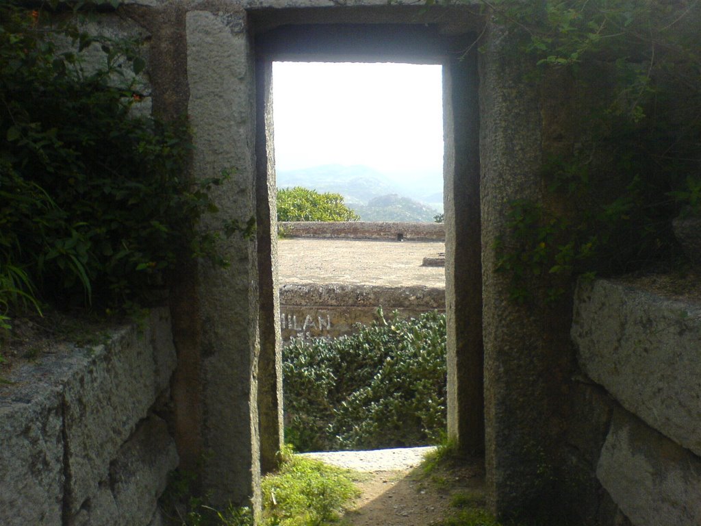
 (Sankri Villege)
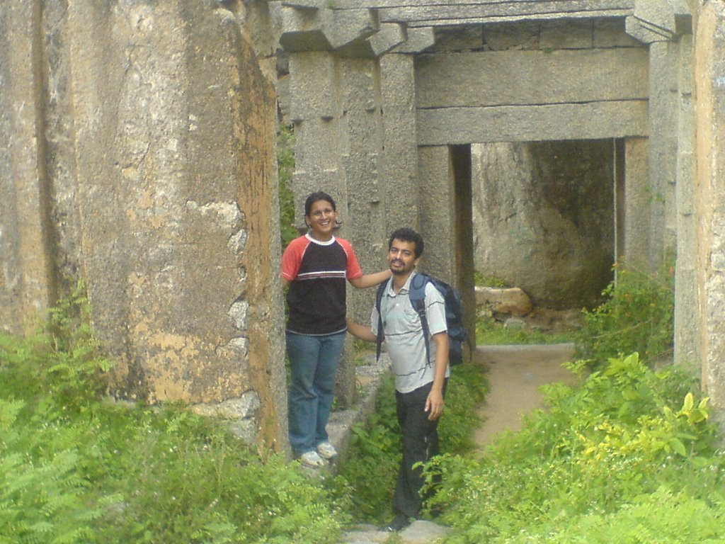
 ( My tent mates )
 (Juda Talao)
Day 3: sankri to juda Talao
(Juda Talao)
Day 3: sankri to juda Talao
we headed to Juda talao camp at 6AM. it was bit chilly but all the chill disappered as we started climbing with our backpack. withing few 100 ft of climb 90 % of the people gave up.
Only we three and few more people were ok. Now our group got divided. Six of us got the order of keeping the fleet moving and help the slow members.
Since we trio were together, we were given job of being at the end of the group and look after the people who are lagging behind.
First day trek was 4Kms but it took sap out of us.
Day 4: Juda Talao to Kedarkanta base camp.
 (En route to Kedar kanta base camp)
Juda talao to kedarkanta base camp is moderate trek of 9 kms in length. we encounter the glipse snow on the way. People were so much excited to see the sno. I still remember our guide's voice "Now you guys are loving it, in few days you will hate it to core"This was a easy day and we managed to finish it in mere 4 hours. scene at the base camp was awesome. we played cricket on the top for 4 hours. we had to sleep early as next day was tough one.
Day 5: Kedarkanta Base to Dhoonda
 (Climbing Kedarkanta peak)
 (Crossing ridge to reach dhoonda)
Aa-haa this was the most tiring trek I ever had anywhere in my life. we had to cover 2000 ft starting from 11,000 ft. day was very chilling and snow covered peak was left to us for climbing.
I gulped over 2 liters of water to the climb. Rest all were nice decend. This day we faced natures wrath. There was a heavy snow showers for us to welcome in himalayas.
we realised why our guides used to push us to be in the camp before 1PM. heavy showers drenched us from top to toe. We were shivering in sheer pain. people were scared to step on the snow. with rain and showers snow deposit had grown over to two feet. walking in the snow is very painful. I suddenly remembered my guides words. There was no sound other then rumble of the snow below the feet. finally we reached the camp site. we all were given hot water to wash our hands and feet. I nearly had frost bite my hands were pale blue. we crashed early that day.
Day 6: Dhoonda to Talhouti
 (Dhooda to talhouti ridge)
 (Arrival at talhouti camp site)
Dhoonda to talhouti is full snow covered way. My trek pal was fed up of snow already and he was not enjoying it. he was walking for the sake of it. This day we had to cross snow covered ridges.
First ridge we cross it was all okay. Next ridge we say one girl sliding down the ridge. one of the guide caught her or else she would have been in valley 400 ft below.
Then they decided to give us harness. With that also people were not comfortable. there were lot of screams and it took us 9 hours to reach the talhouti camp. Final part to talhouti was nice 100ft slide. I enjoyed it.
Day 7: Talhouti to seema

(
School in Talhouti)

(
Duryodhan Temple)
Talhoutie to seema was very easy and we finished it in just two hours. we saw few houses on the way and intersting Duryodhan temple. Question was who will worship duryodhan?
Day 8 : Seema to Har ki dun valley
 (Crossing bridge at osla)
 (Crossing glacier near to har ki dun valley )
 (Snow covered har ki dun valley )
Seema to harkidhun valley was 11kms climb. we were greeted my heavy snow fall. It was not at all easy to walk in the snow fall. we took couple of stops and manage to reach the valley in mere 3 and half hours.
Har ki dun means Shiva's own valley. It is starting point of Yamunotri and base of swargarohini ranges. there is jaundhar glacier which melts to form yamunotri.
Time we reached the valley it was fully covered by snow. Even our camps were camofluged with snow. After two hours with sunlight all the snow got melted and there were lot of greenary around. I tried to put my hand in yamunotri but it was freezing cold.
Day 9 : Har ki dun valley to seema
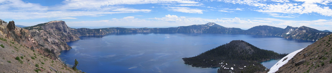
 (Origin of Yamunotri around swargrohini ranges)
From the valley to Seema was nice fun. we managed to do it in two hours. we were in hunt of good food. we were bored of dal and rice everyday. soon we realised that there is nothing out there from where we can get good food. by this time I was bit desparate to get good food. Some of us were home sick. Just two days to finish the track was looking like 2 years.
Day 10 : Seema to Sankri base camp
seema we walked for 3 kms and then we heard jeep sound. few of my female friends started crying as if they are been realesed from jail. we reached the road and took jeep to sankri base camp.
I was not at all happy after returning to base camp. I wanted more time out there. But thing started has to end or else there is no fun.

River rafting.
I was not keen in river rafting. Actually I was scared as I did't know swiming. my othe friends wanted to do rafting. we all wentto rishikesh and did rafting. It was a thrilling moment with grade 4+ rapids. I was trown out in the river twice.
Overall it was really great time we had.


